Inexpensive Chart Plotter Constructed with Raspberry Pi and Open Plotter Software
Transform your Raspberry Pi into a powerful and affordable marine chart plotter with AIS functionality by following these steps and gathering the necessary components.
Necessary Components
- Raspberry Pi (preferably a recent model like Raspberry Pi 4 or 5 for better performance)
- OpenPlotter OS installed on an SD card — OpenPlotter is a specialized Linux-based OS designed for marine navigation and sensor integration. Download OpenPlotter
- GPS Module (e.g., BU-353 USB GPS dongle) — a plug-and-play USB GPS receiver for accurate position data.
- USB TV Tuner with DVB-T support — this acts as the AIS receiver by capturing AIS signals over radio frequencies.
- Power supply — a stable 5V DC supply suitable for marine use.
- Marine waterproof enclosure to protect the Raspberry Pi and electronics.
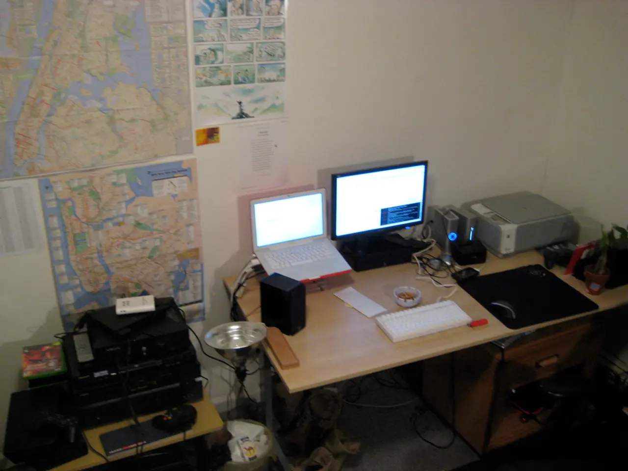
- Display device (touchscreen or regular monitor) connected to the Pi for visualization of nautical charts.
- Wi-Fi or Ethernet network setup — the Pi typically broadcasts its own boat Wi-Fi hotspot (e.g., named "boat pie") to allow connection and configuration from another device.
Installation Steps
- Prepare and install OpenPlotter:
- Insert the OpenPlotter-loaded SD card into the Raspberry Pi and power it on.
- Attach GPS module:
- Plug in the BU-353 USB GPS dongle to the Pi.
- Place the GPS antenna near a window or open sky for better satellite reception.
- Configure GPS settings on OpenPlotter under the Serial section to enable NMEA data input via USB.
- Set up the USB TV tuner for AIS:
- Connect the USB TV tuner to the Pi.
- Configure it in OpenPlotter to decode AIS signals from VHF radio frequencies.
- Configure OpenPlotter networking and services:
- Connect to the Pi’s Wi-Fi hotspot from your laptop or device.
- Use OpenPlotter’s web interface or desktop to configure UDP connections, Signal K server, and OpenCPN or AvNav for chart plotting.
- Set up local UDP ports to receive AIS and GPS data streams.
- Install and configure chart plotting software:
- OpenCPN or AvNav can be run on the Pi to display charts and overlay AIS targets.
- Configure chart sources and ensure correct data input from Signal K or directly from NMEA streams.
- Test the system:
- Verify GPS lock and positioning.
- Confirm AIS targets are received and displayed.
- Access the plotter remotely over Wi-Fi for monitoring.
Additional Notes
- The BU-353 GPS dongle is a common plug-and-play choice for accurate GPS position input via USB.
- The TV tuner for AIS requires the right DVB-T drivers and decoding software, which OpenPlotter can handle as part of its marine electronics suite.
- Security tip: Change default passwords for SSH and Wi-Fi to protect the system on your boat network.
- Optionally, marine NMEA 2000 networks can be integrated via adapters for expanded sensor interfacing.
- Housing electronics in waterproof enclosures and securing power supply are critical for marine environments.
This setup provides a flexible, open-source, and affordable solution to turn a Raspberry Pi and simple USB peripherals into a capable marine chart plotter with AIS functionality. With the Raspberry Pi setup, sailors can also download meteorological information and superimpose it on their plotter maps, connect other boat instruments, and view all unified data on a screen or tablet via WiFi.
- To enhance your marine chart plotter's usability, consider incorporating gadgets like a touchscreen display for improved visualization of nautical charts.
- For easier navigation, pair your Raspberry Pi-powered marine chart plotter with technology such as gadgets that provide AIS functionality, allowing you to track other vessels more effectively.


